- Home
- Living Here
- Drummore
Drummore, Scotland
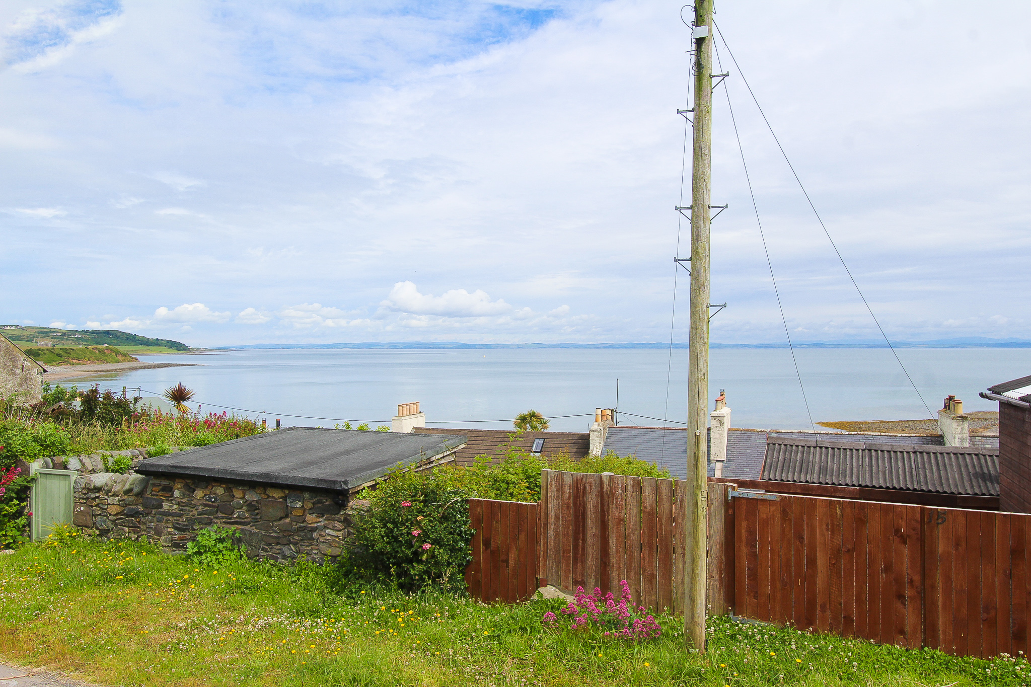
To the Southern end of the Galloway Rhins in Wigtownshire, lies the village of Drummore, where Kildonan Burn runs out to sea.
Nearby the Mull of Galloway, Drummore is the most southerly village in Scotland, bypassing English cities of Durham and Carlisle across the sea. It is only 16 miles from the major town of Stranraer and is part of the Dumfries and Galloway Council and community as well as the parish of Kirkmaiden.
High Drummore a mile up Glen Lee, and Drummore Glen half a mile east, is where Drummore's name is derived from. In 1998, the population was only 310, and has only grown to a bigger and warming community. A wide range of facilities is hosted throughout the village, including a post office, shop, garage, primary school, pharmacy and a doctor's surgery. There's also the Mariners Coffee shop, the Shipp Inn and the Queen's Hotel, offering excellent food and drink, along with high quality accommodation similarly to the several holiday cottages and caravan parks also seen around the village.
The underlying Gaelic name of Drummore is "druim mòr" or "big ridge" refers to the motte associated with the castle of the Adairs of Kinhilt. The lands of the castle were granted by King James VI in 1602. The Rhins of Galloway was an early area of Christianity due to the missionary work of Ninian across Luce Bay in the Machars. In 1860, less than a mile up the coast of Drummore at Low Curghie, a gravestone was discovered which appeared to date to the 5th or 6th century, with a dated Latin inscription showed a name of "Ventidius" and a word which translated as "sub-deacon".
Drummore's Gaelic name was in tune with the general use of Gaelic in Dumfries and Galloway after the Dark Ages until it was supplanted by English under Presbyterian influence in the 17th century. In 1877, a branch line linking to the Portpatrick Railway was proposed. However, it was soon declined and abandoned after the failure of the City of Glasgow Bank in 1882 by the landowner at the time, the Earl of Stair. The layout of the village's street still reflects the plans set out for the railway.
In earlier times, there were different names for the streets of the village than seen today. This includes Stair Street, which was once called Church Street, Mill Street was simply Main Street and Harbour Road was formerly known as Quay Road. In the 1960s there was a landslip on the former Lower Road which brought traffic to the coast and soon Shore Street was barred to traffic. Lower Road is now only a scenic footpath surrounded by Japanese knotweed, which later was mysteriously decorated by an anonymous artist with fairy doors.
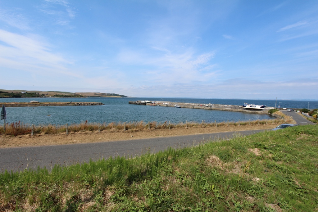
Drummore's northern harbour is free of strong-westerly winds, as it is shielded by the Rhinns of Galloway. In the early 19th century, a jetty was developed on the harbour to serve a lime manufacturing facility. Drummore is the largest settlement in the parish of Kirkmaiden. The original parish church was located with 8 miles south of the village. However, in 1638 the parishioners secured a new church known as Kirk Covenant a mile west of Drummore due to the inconvenient distance to St Maiden's church. Yet another church was built due to the Disruption of 1843 for worshippers in the Free Church of Scotland.
With it's interesting ancient and ecclesiastical history, it's beautiful coast and the quiet yet buoyant community, Drummore truly captures the true essence of the treasures found in Dumfires and Galloway. Its idealist seaside presence represents one of the best spots to visit and ultimately stay in the Rhinns of Galloway. Drummore offers a wide variety of opportunities to cultivate a life in the Scottish countryside.
Further information
You'll find links to local schools, amenities, visitor attractions and related websites below:
Local Council
Dumfries & Galloway Council (www.dumgal.gov.uk)
Primary Schools
Drummore Primary School (www.dumgal.gov.uk/article/15458/Drummore-Primary-School)
Secondary School
Stranraer Academy (www.stranraeracademy.co.uk)
Dumfries & Galloway Tourist Board
VisitScotland (www.visitscotland.com/destinations-maps/dumfries-galloway/)


